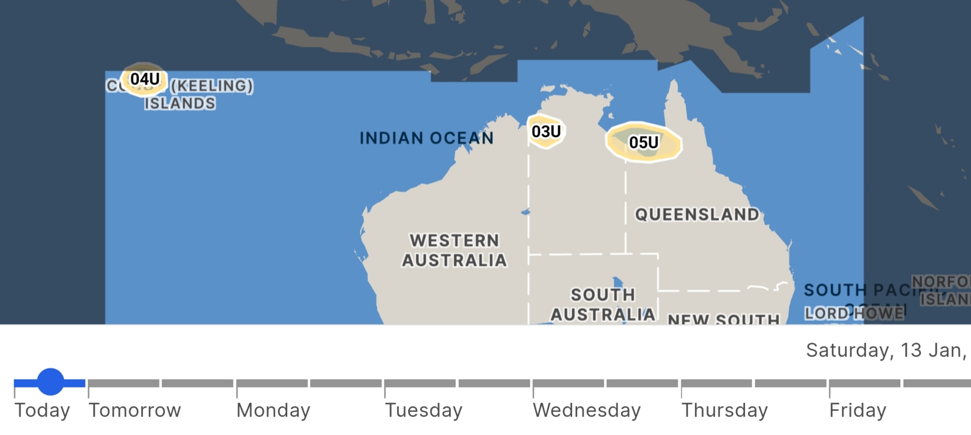
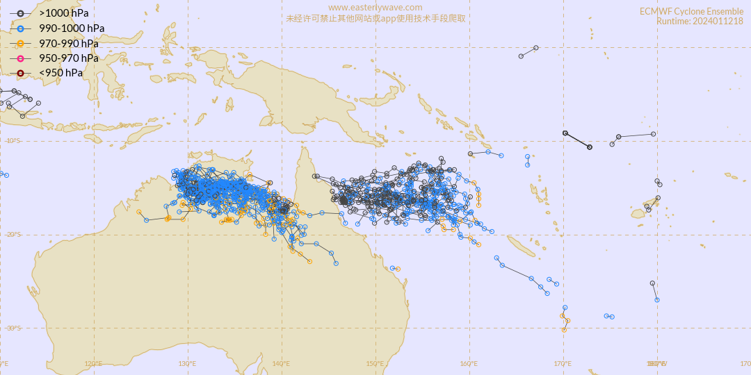
Weak low level clockwise circulation east of Diego-Garcia:
A weak low is observed on imagery around 7.5°S / 78.8°E. Its low level center is set back to the
east of the main convection. This is due to strong easterly upper windshear, which is unlikely to
weaken over the next few days. What's more, low-level convergence will struggle to feed warm air
into the center of this vortex.
As a result, this minimum is unlikely to persist or even intensify over the next 5 days.
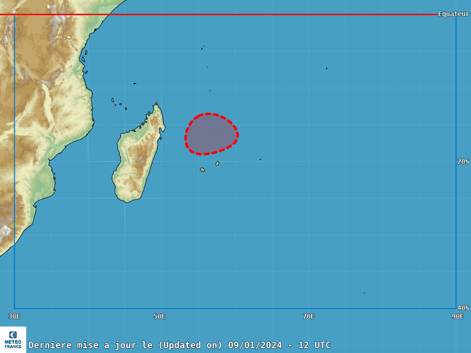
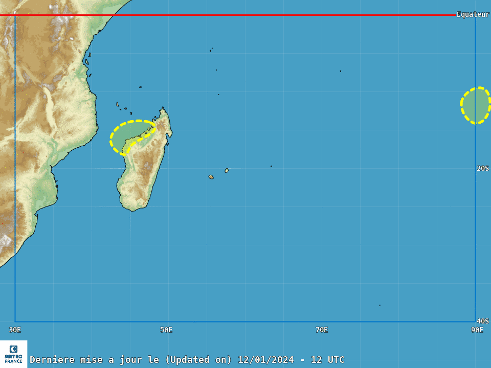
Suspect area north of the Mascarene Islands:
Analysis of CIMSS products (low level vorticity + MIMIC TPW) and animation of the latest visible
images show the beginnings of a weak surface low-pressure circulation north of the Mascarene
Islands, towards 11°S / 64°E. The partial pass of HY-2C from 0530Z (on the edge of the swath)
does not yet show a closed circulation, but a fairly elongated structure marked by mean surface
winds of around 10 to 15kt maximum, with a fairly cold band of clouds, far from the center in the
eastern semicircle.
In the short term, with convective activity continuing over this area, the precursor should gradually
symmetrize and begin its intensification phase, over particularly warm surface waters and a
particularly moist middle troposphere. From Friday onwards, low-level convergence should
improve, particularly over the eastern semicircle of the vortex. In addition, there will be a strong
upper-level divergence, with an evacuation channel developed on the polar side. Under these
conditions, the system should end its initial cyclogenesis phase and begin a process of
intensification, defining a more or less direct threat to inhabited land.
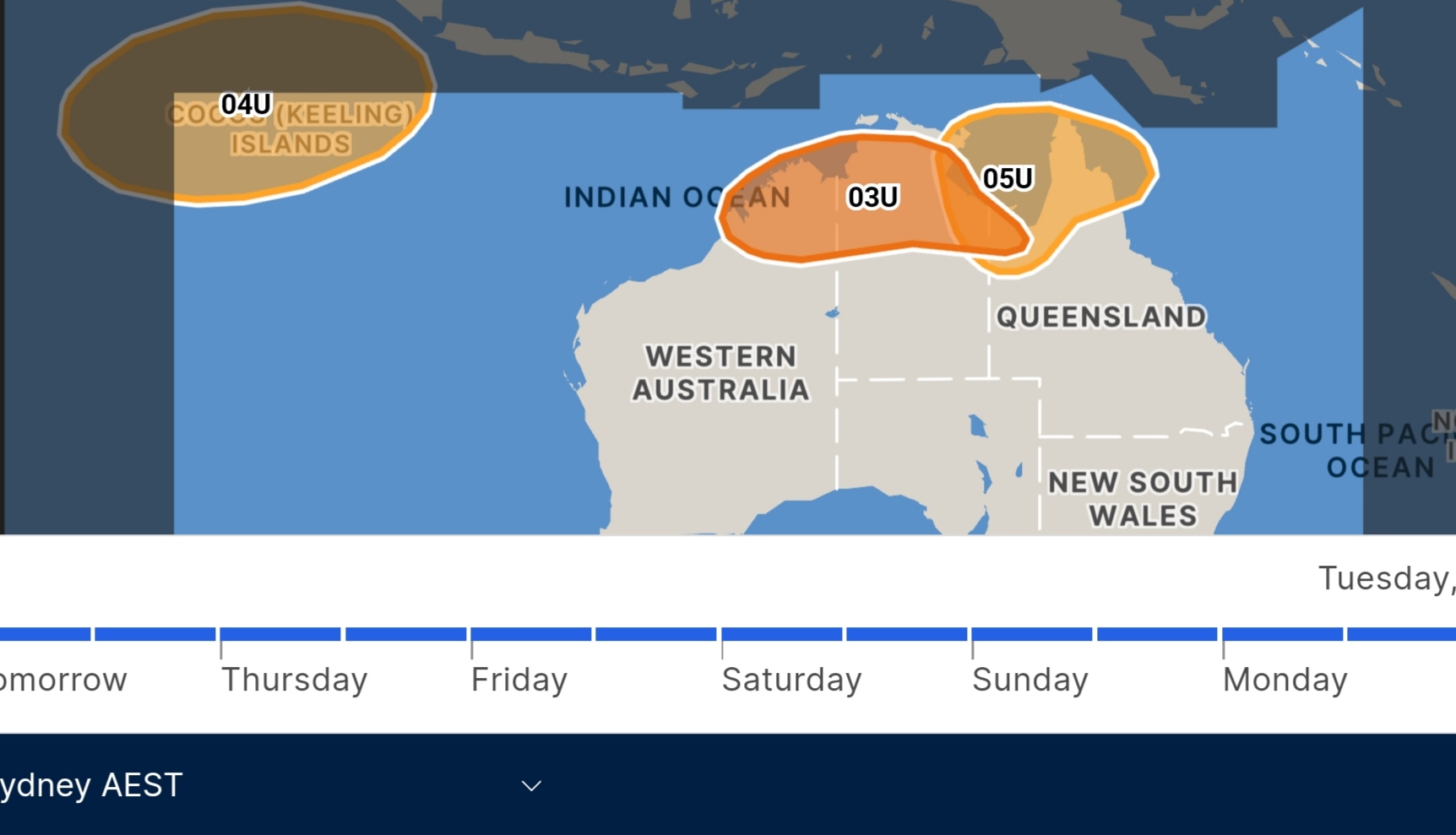
For the time being, however, major differences persist between the main deterministic models, not
only in terms of timing but also in terms of movement. The French model Arome suggests a
transition to a moderate tropical storm (TTM) on Friday evening, or even overnight. The American
GFS model suggests a TTM stage on Saturday morning, with the meteor circulating to the east of
Mauritius, while the European IFS model takes longer to set up, but digs in as a severe tropical
storm to the north of the Mascarene Islands on Sunday morning, passing as close as possible
between Mauritius and La Réunion late Monday.
The ensemblist guidance systems are fairly close to their respective determinists, with a more
parabolic track for EPS, and a meridian one for GEFS.
As a result of these latest elements, which are still subject to uncertainties, the risk of a
moderate tropical storm forming is considered to be low on Thursday, moderate on Friday
and then high from Saturday, over the northern Mascarene Islands.