WTPS31 PGTW 180900
MSGID/GENADMIN/JOINT TYPHOON WRNCEN PEARL HARBOR HI//
SUBJ/TROPICAL CYCLONE 19P (MEGAN) WARNING NR 012//
RMKS/
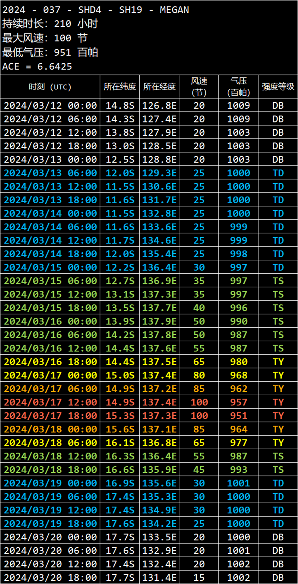
1. TROPICAL CYCLONE 19P (MEGAN) WARNING NR 012
01 ACTIVE TROPICAL CYCLONE IN SOUTHPAC
MAX SUSTAINED WINDS BASED ON ONE-MINUTE AVERAGE
WIND RADII VALID OVER OPEN WATER ONLY
---
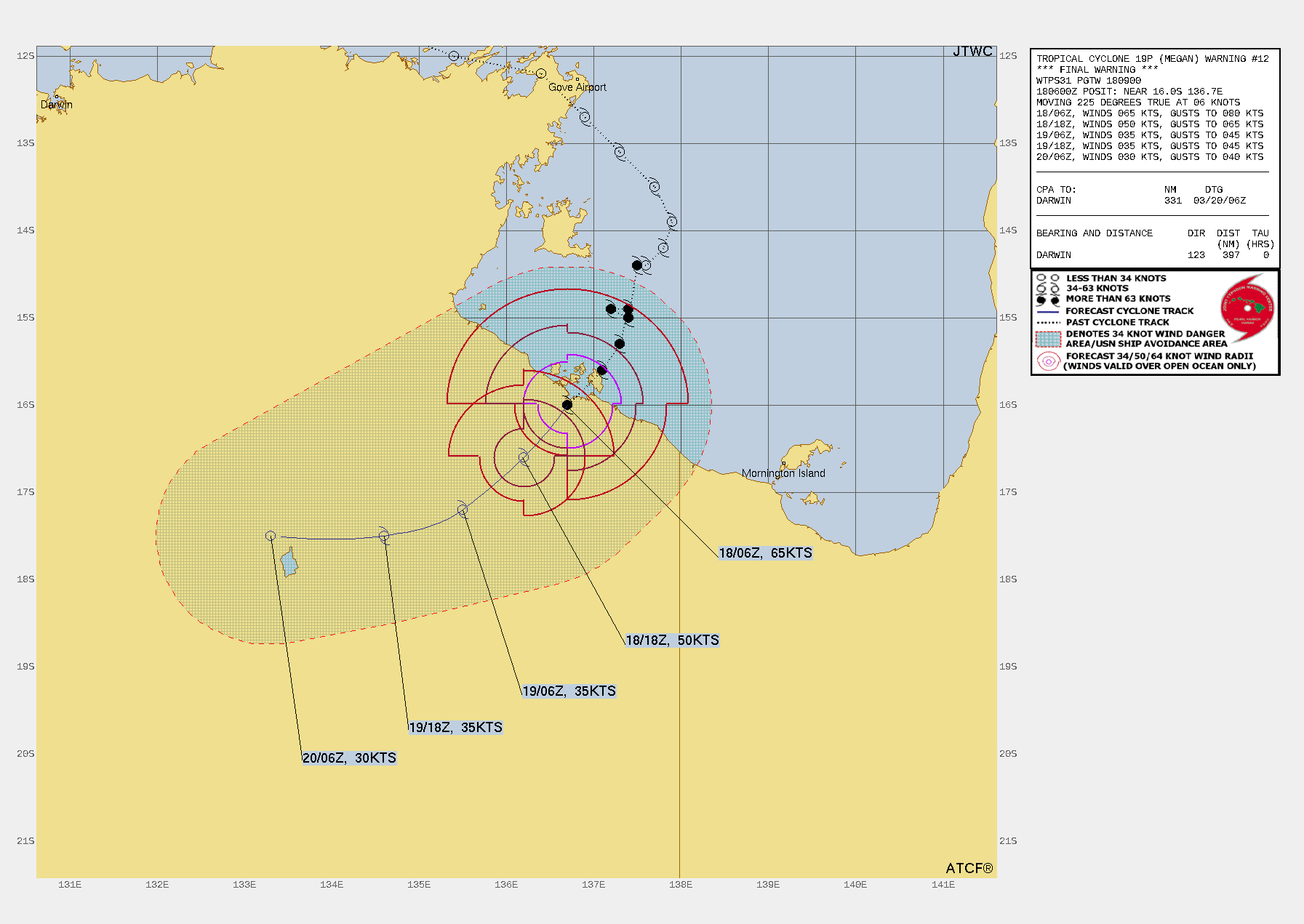
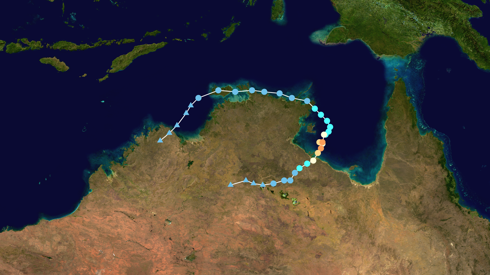
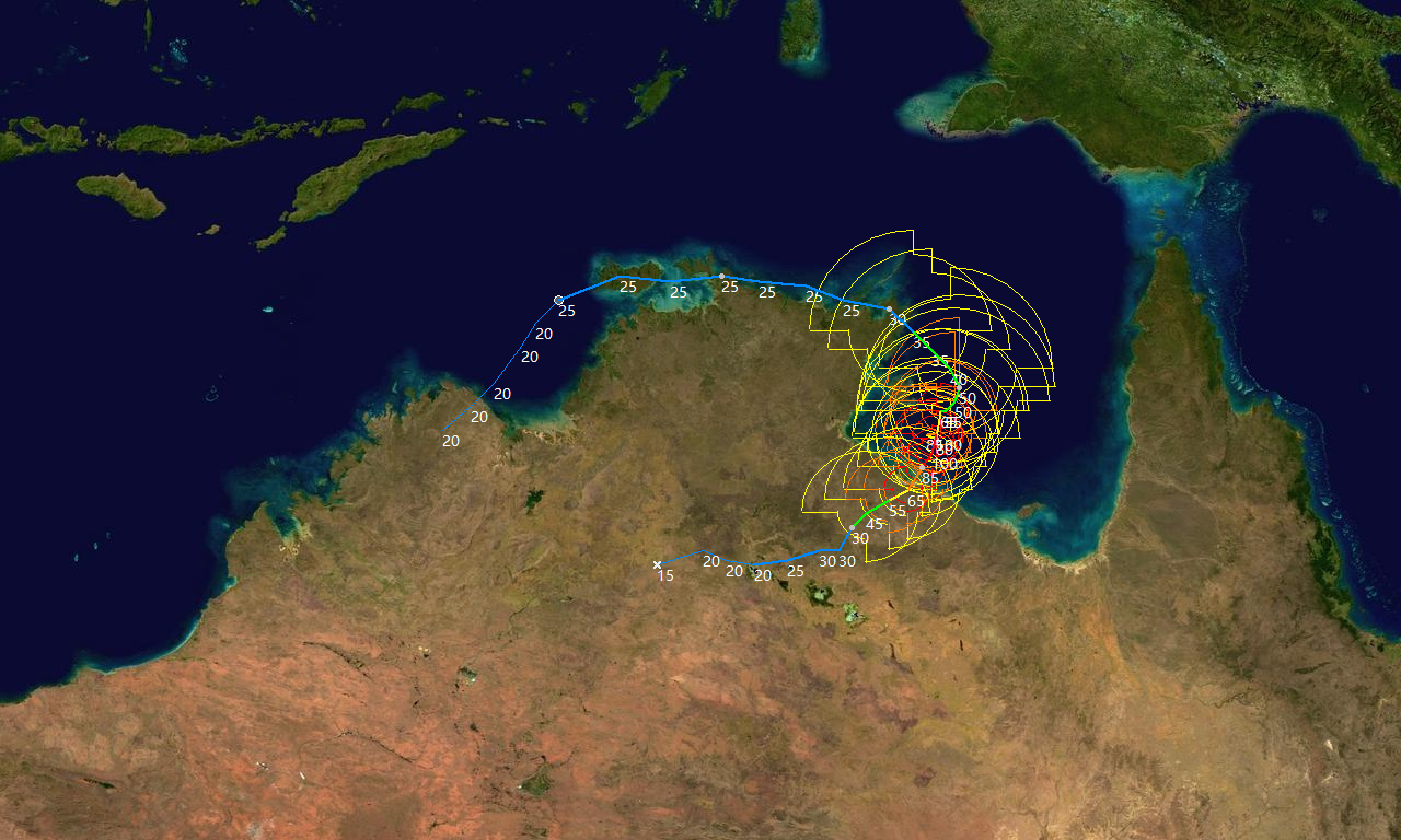
WARNING POSITION:
180600Z --- NEAR 16.0S 136.7E
MOVEMENT PAST SIX HOURS - 225 DEGREES AT 06 KTS
POSITION ACCURATE TO WITHIN 060 NM
POSITION BASED ON CENTER LOCATED BY A COMBINATION OF
SATELLITE AND SYNOPTIC DATA
PRESENT WIND DISTRIBUTION:
MAX SUSTAINED WINDS - 065 KT, GUSTS 080 KT
WIND RADII VALID OVER OPEN WATER ONLY
RADIUS OF 064 KT WINDS - 035 NM NORTHEAST QUADRANT
030 NM SOUTHEAST QUADRANT
020 NM SOUTHWEST QUADRANT
030 NM NORTHWEST QUADRANT
RADIUS OF 050 KT WINDS - 050 NM NORTHEAST QUADRANT
045 NM SOUTHEAST QUADRANT
030 NM SOUTHWEST QUADRANT
055 NM NORTHWEST QUADRANT
RADIUS OF 034 KT WINDS - 080 NM NORTHEAST QUADRANT
065 NM SOUTHEAST QUADRANT
035 NM SOUTHWEST QUADRANT
080 NM NORTHWEST QUADRANT
REPEAT POSIT: 16.0S 136.7E
---
FORECASTS:
12 HRS, VALID AT:
181800Z --- 16.6S 136.2E
MAX SUSTAINED WINDS - 050 KT, GUSTS 065 KT
WIND RADII VALID OVER OPEN WATER ONLY
RADIUS OF 050 KT WINDS - 040 NM NORTHEAST QUADRANT
020 NM SOUTHEAST QUADRANT
020 NM SOUTHWEST QUADRANT
020 NM NORTHWEST QUADRANT
RADIUS OF 034 KT WINDS - 060 NM NORTHEAST QUADRANT
040 NM SOUTHEAST QUADRANT
030 NM SOUTHWEST QUADRANT
050 NM NORTHWEST QUADRANT
VECTOR TO 24 HR POSIT: 230 DEG/ 04 KTS
---
24 HRS, VALID AT:
190600Z --- 17.2S 135.5E
MAX SUSTAINED WINDS - 035 KT, GUSTS 045 KT
WIND RADII VALID OVER OPEN WATER ONLY
DISSIPATING AS A SIGNIFICANT TROPICAL CYCLONE OVER LAND
VECTOR TO 36 HR POSIT: 250 DEG/ 05 KTS
---
36 HRS, VALID AT:
191800Z --- 17.5S 134.6E
MAX SUSTAINED WINDS - 035 KT, GUSTS 045 KT
WIND RADII VALID OVER OPEN WATER ONLY
DISSIPATING AS A SIGNIFICANT TROPICAL CYCLONE OVER LAND
VECTOR TO 48 HR POSIT: 270 DEG/ 06 KTS
---
EXTENDED OUTLOOK:
48 HRS, VALID AT:
200600Z --- 17.5S 133.3E
MAX SUSTAINED WINDS - 030 KT, GUSTS 040 KT
WIND RADII VALID OVER OPEN WATER ONLY
DISSIPATED AS A SIGNIFICANT TROPICAL CYCLONE OVER LAND
---
REMARKS:
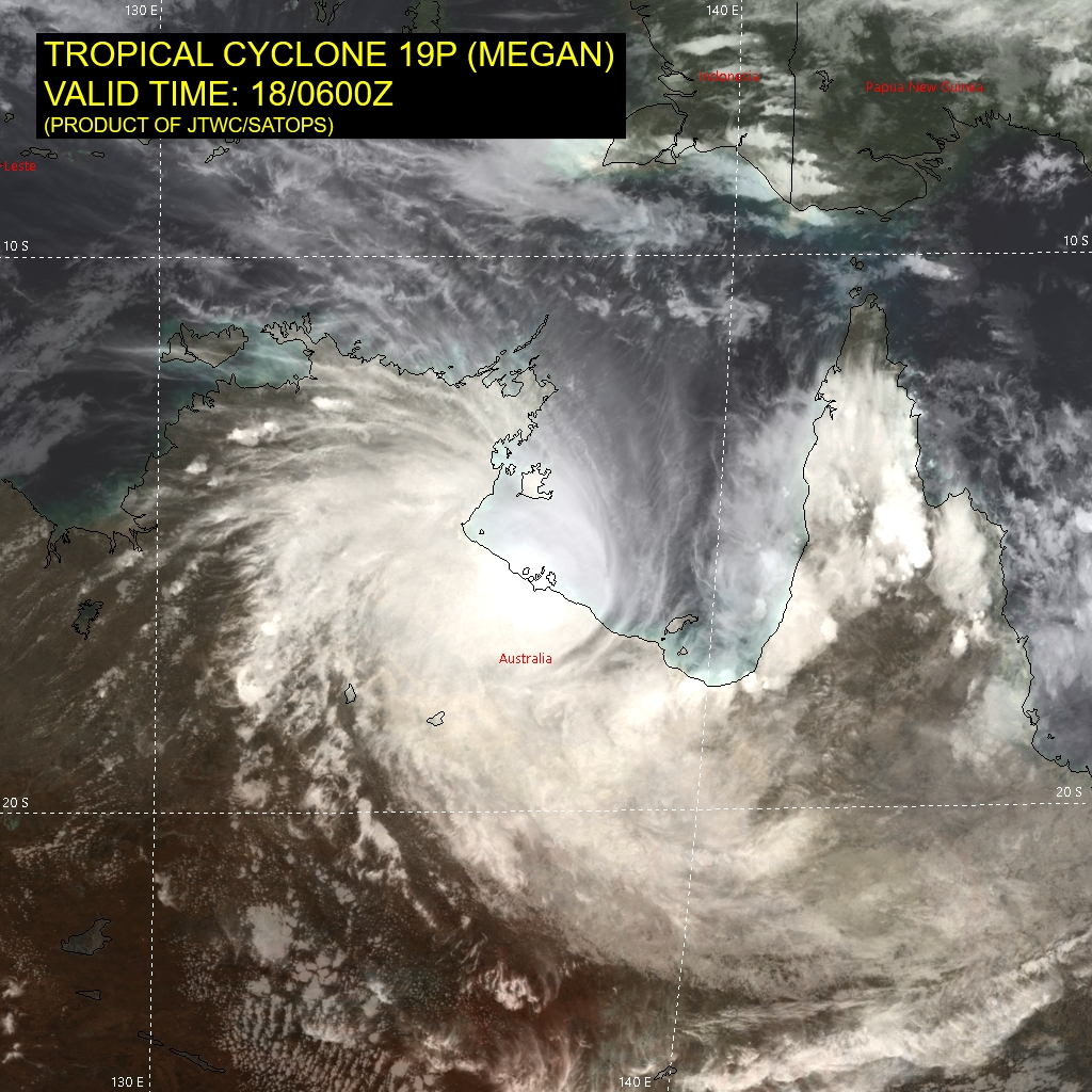
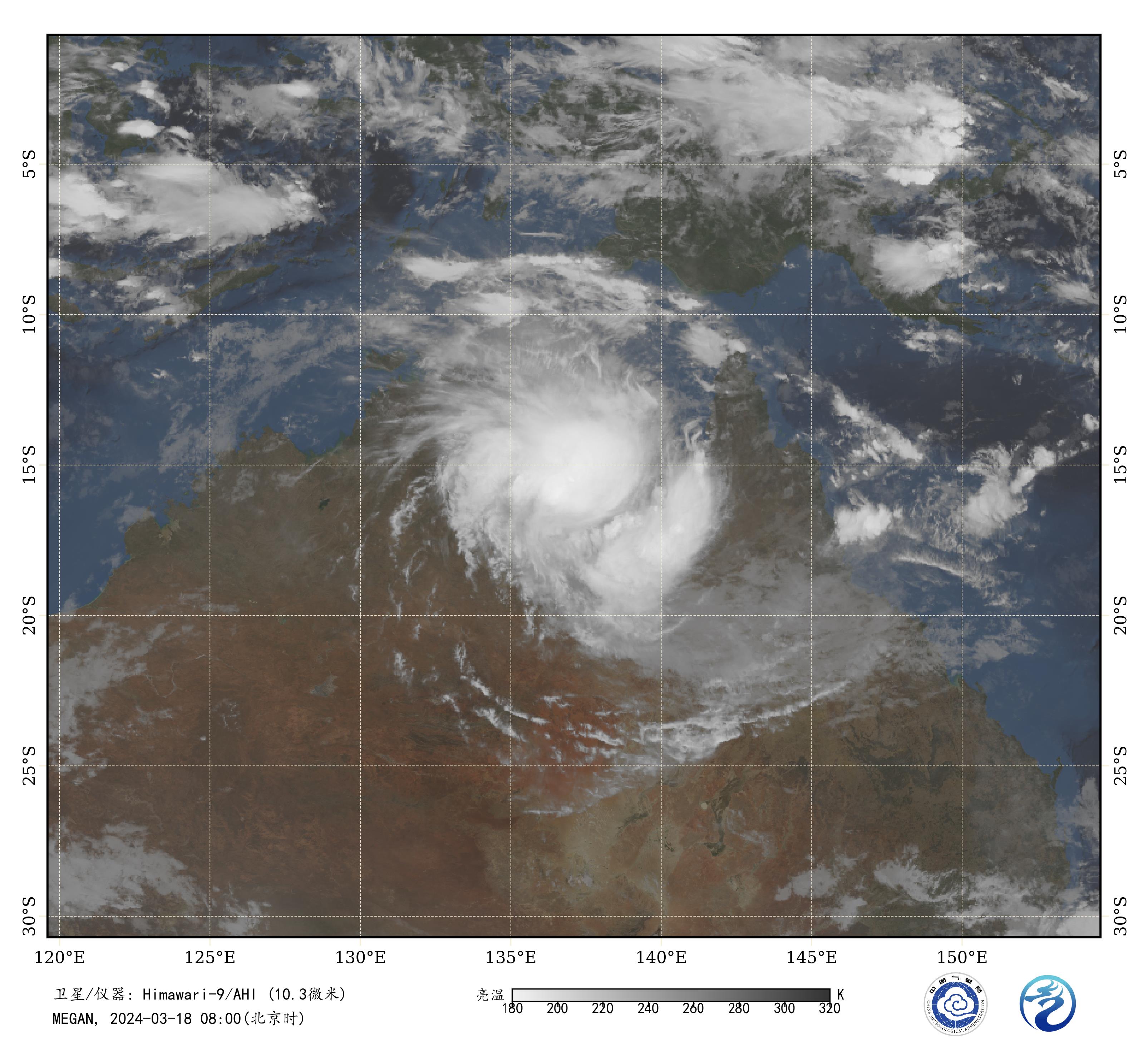
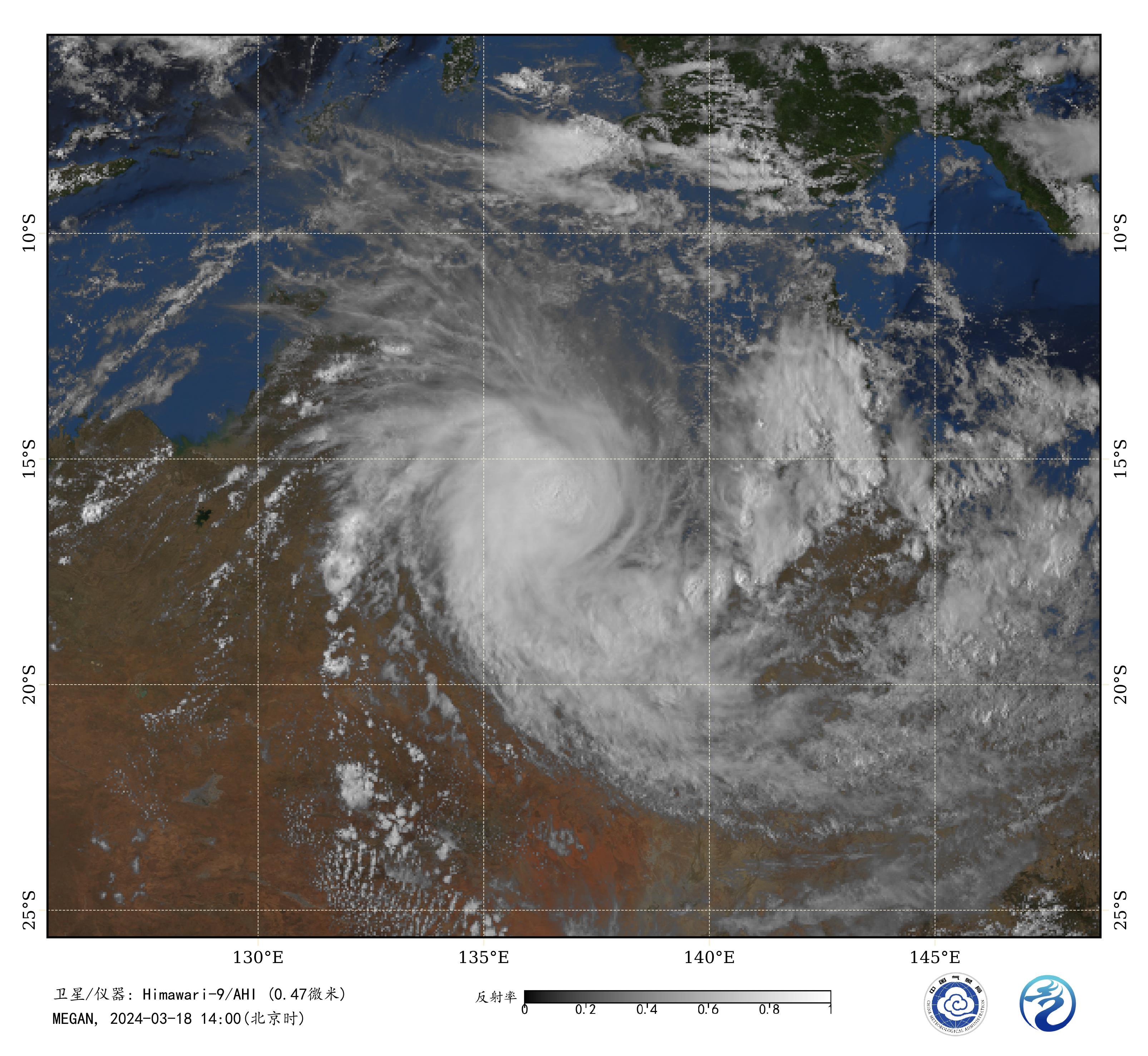
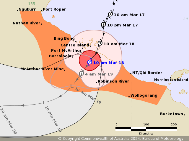
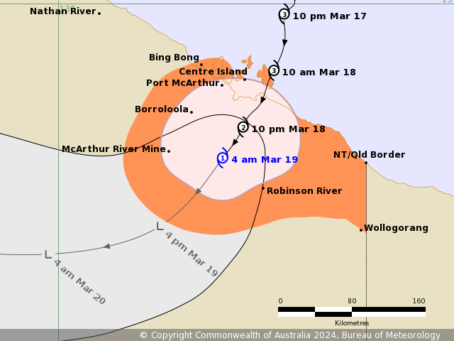
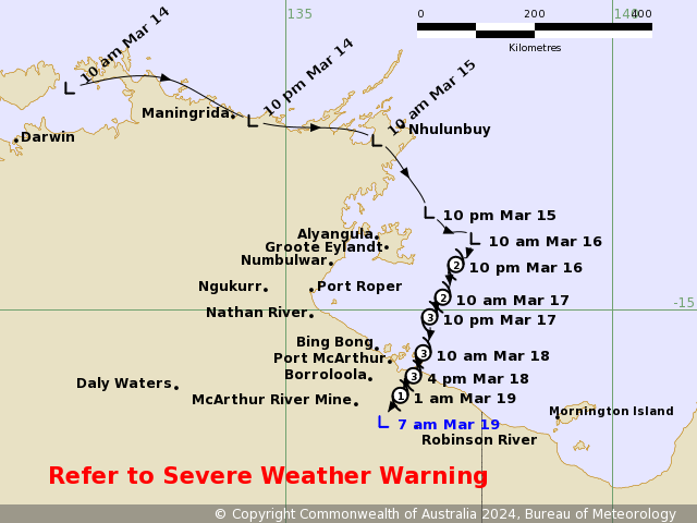
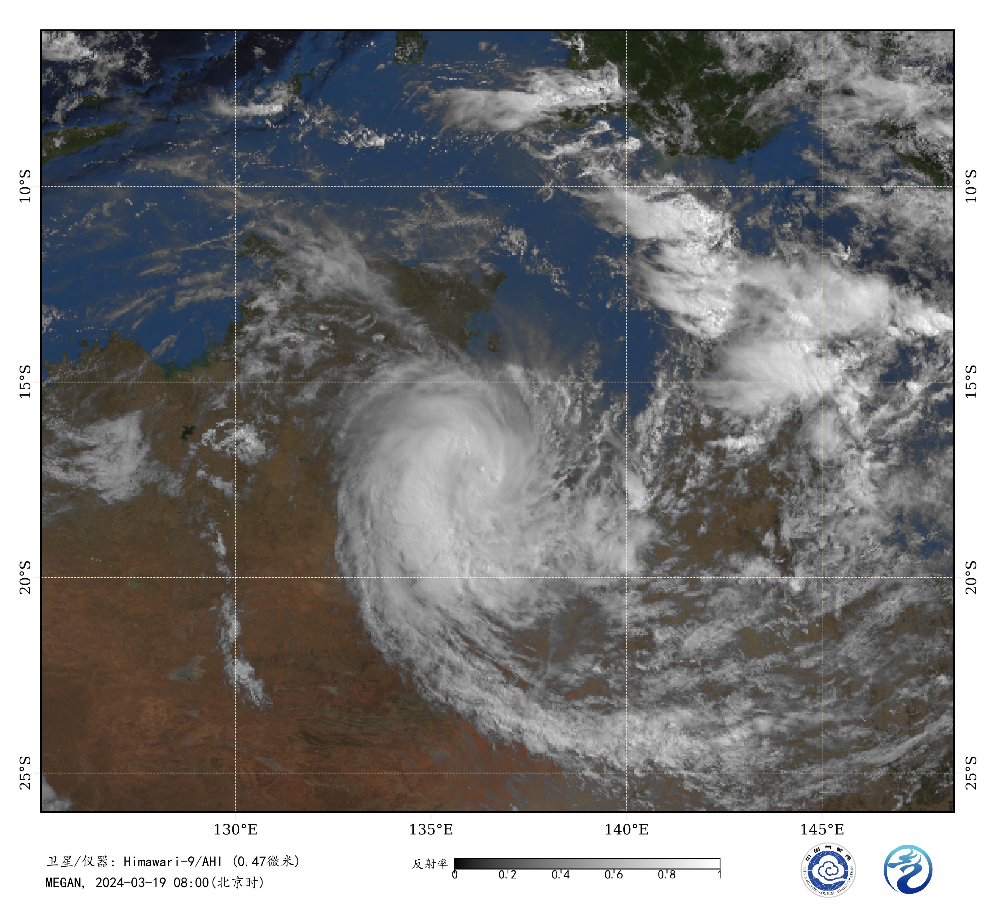
180900Z POSITION NEAR 16.2S 136.6E.
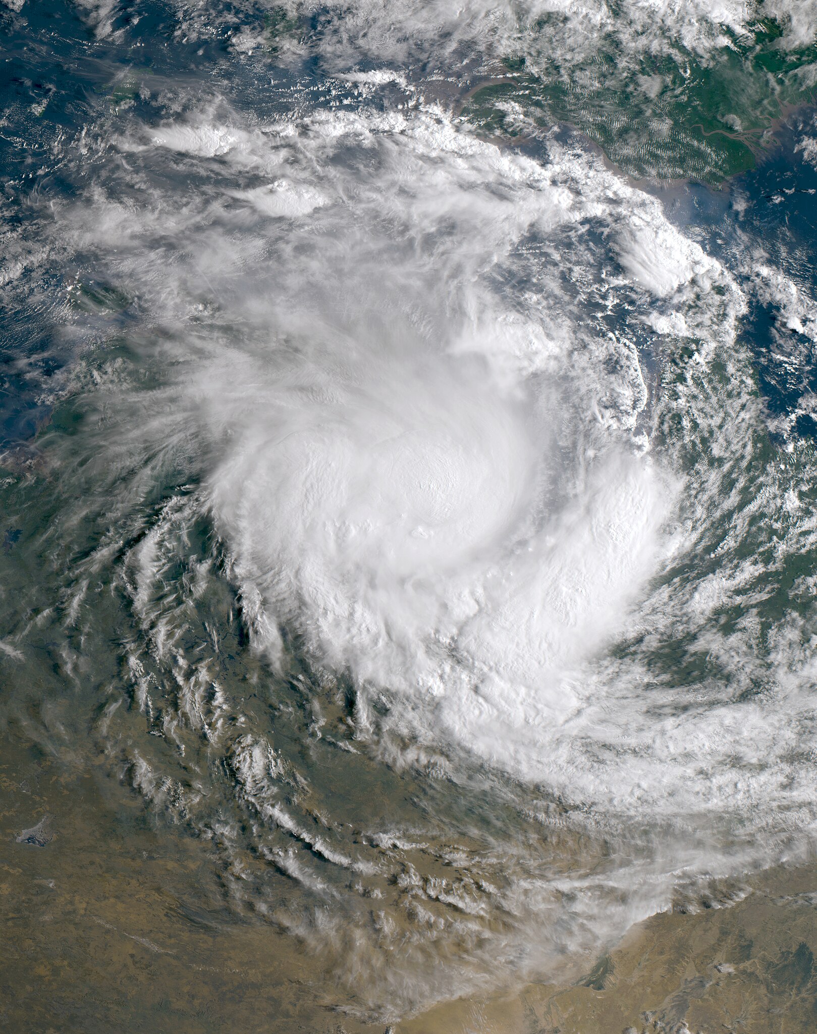
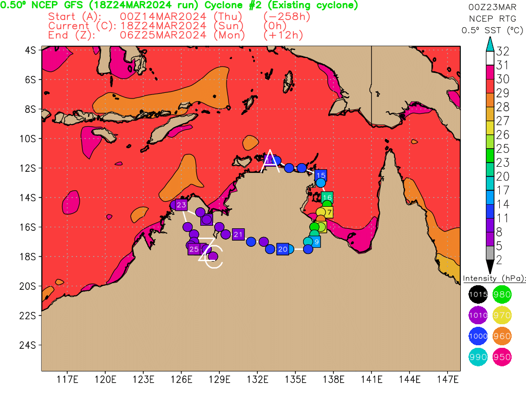
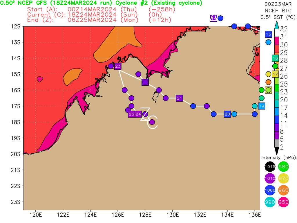
18MAR24. TROPICAL CYCLONE 19P (MEGAN), LOCATED APPROXIMATELY 397
NM EAST-SOUTHEAST OF DARWIN, AUSTRALIA, HAS TRACKED SOUTHWESTWARD
AT 06 KNOTS OVER THE PAST SIX HOURS. TROPICAL CYCLONE (TC) 19P
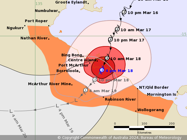
(MEGAN) MADE LANDFALL AT APPROXIMATELY 180500Z, ALONG THE SOUTHERN
GULF OF CARPENTARIA, SOUTH OF CENTRE ISLAND. 19P IS EXPECTED TO
TRACK SOUTHWESTWARD THROUGH TAU 24 THEN TURN WESTWARD THROUGH TAU
48, DISSIPATING BY TAU 48 OVER NORTH-CENTRAL
AUSTRALIA. THIS IS THE FINAL WARNING ON THIS SYSTEM BY THE JOINT
TYPHOON WRNCEN PEARL HARBOR HI. THE SYSTEM WILL BE CLOSELY MONITORED
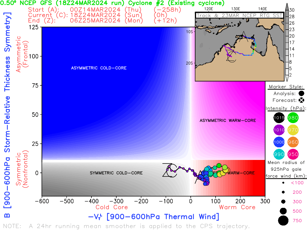
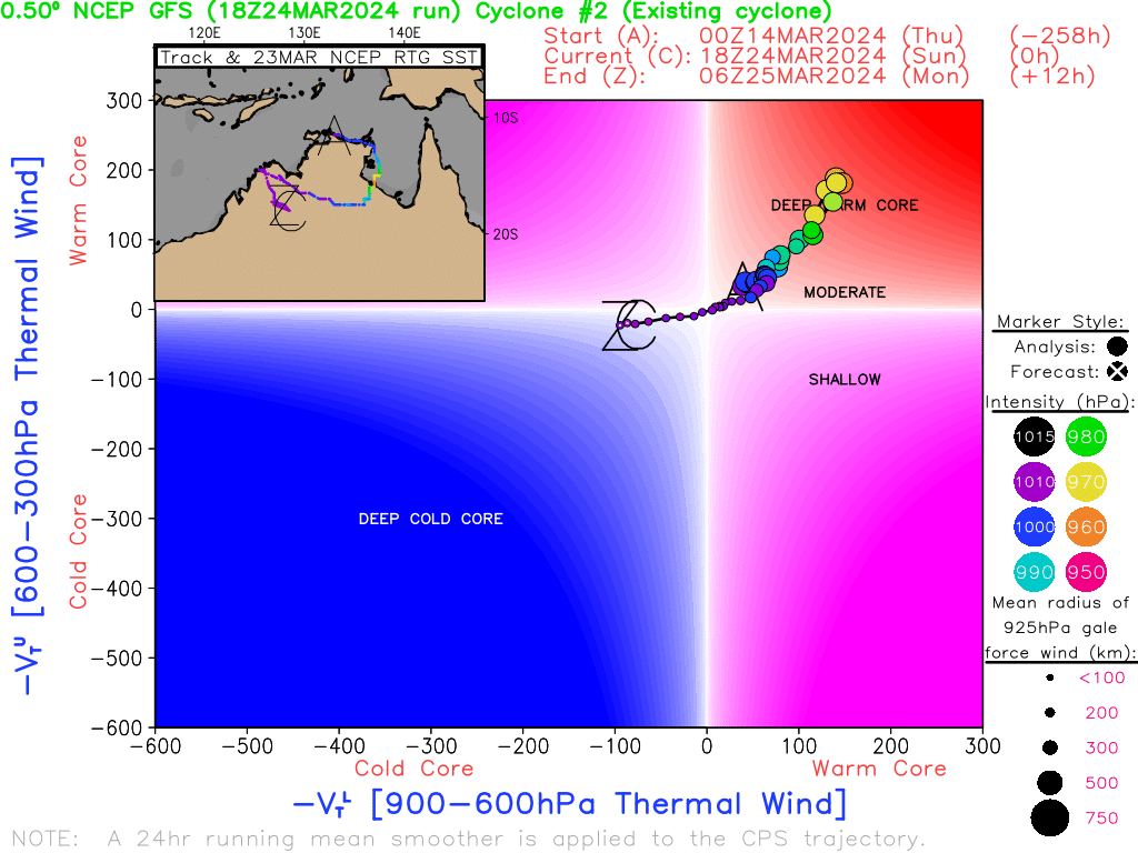
FOR SIGNS OF REGENERATION. MINIMUM CENTRAL PRESSURE AT 180600Z IS
977 MB.//
NNNN