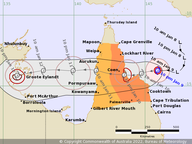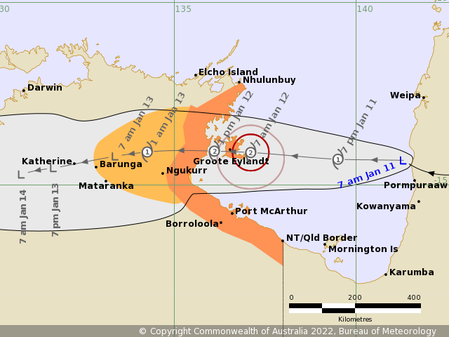
The forecast path shown above is the Bureau's best estimate of the cyclone's future movement and intensity. There is always some uncertainty associated with tropical cyclone forecasting and the grey zone indicates the range of likely tracks of the cyclone centre.
Due to the uncertainty in the future movement, the indicated winds will almost certainly extend to regions outside the rings on this map. The extent of the warning and watch zones reflects this.
This product is designed for land-based communities; mariners should read the coastal waters and high seas warnings.
Headline:
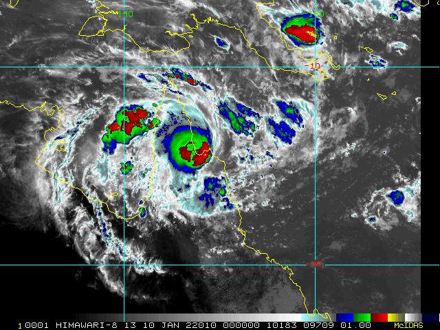
Ex-Tropical Cyclone Tiffany has moved into the Gulf of Carpentaria where it is expected to redevelop. Cyclone Warning now current for the eastern Northern Territory coast.
Areas affected:
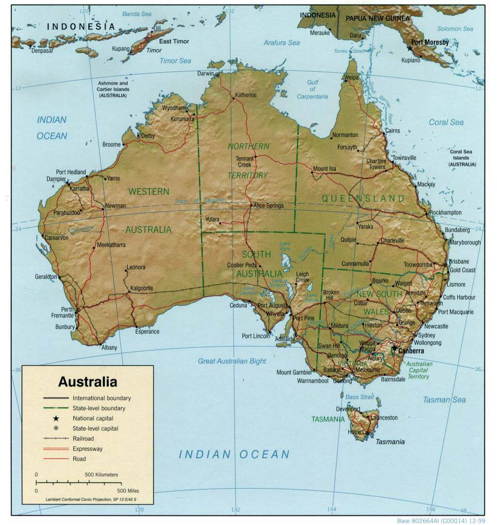
Warning zone: Nhulunbuy to NT/Qld border, including Groote Eylandt, Numbulwar, Port Roper, and Port McArthur..
Watch zone: Adjacent inland areas extending west to Barunga and Mataranka..
Cancelled zones: None.
Details of Ex-Tropical Cyclone Tiffany at 6:30 am ACST:
Intensity: tropical low, sustained winds near the centre of 55 kilometres per hour with wind gusts to 85 kilometres per hour.
Location: within 30 kilometres of 14.3 degrees South, 141.3 degrees East , 70 kilometres north northwest of Pormpuraaw and 515 kilometres east of Groote Eylandt .
Movement: west northwest at 17 kilometres per hour .
NOTE: Advice updated to correct headline text
Ex-Tropical Cyclone Tiffany has moved into the Gulf of Carpentaria where it is expected to begin redeveloping today while tracking steadily westward. On Wednesday morning it will approach the eastern Northern Territory coast where category 2 tropical cyclone impacts are possible.