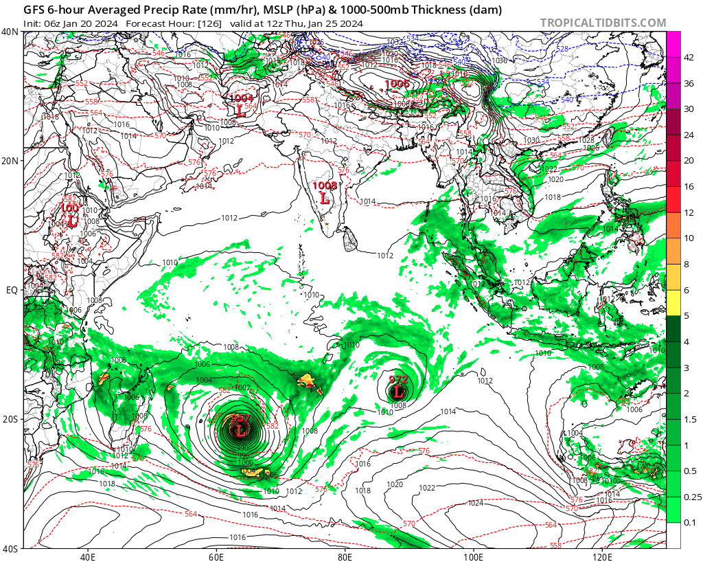
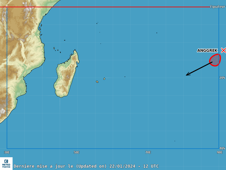
Tropical cyclone BELAL :
Information at 09UTC
Position: 21.2.4°S / 55.8°E
Movement: Southeast 9kt
Max wind averaged over 10min: 65kt
Estimated central pressure: 975 hPa
For further information, please refer to bulletins WTIO21 and WTIO31 to be issued at 12UTC.
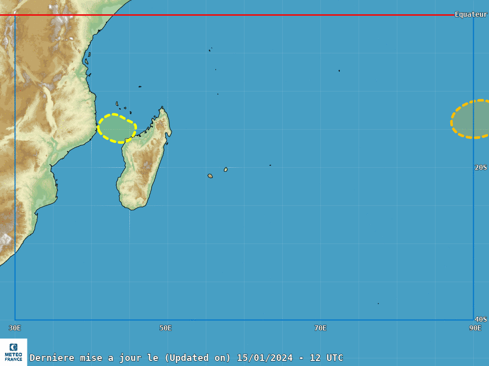
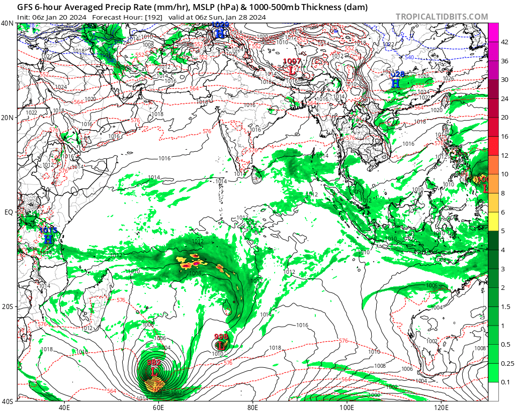
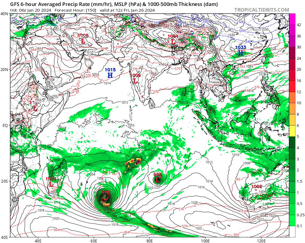
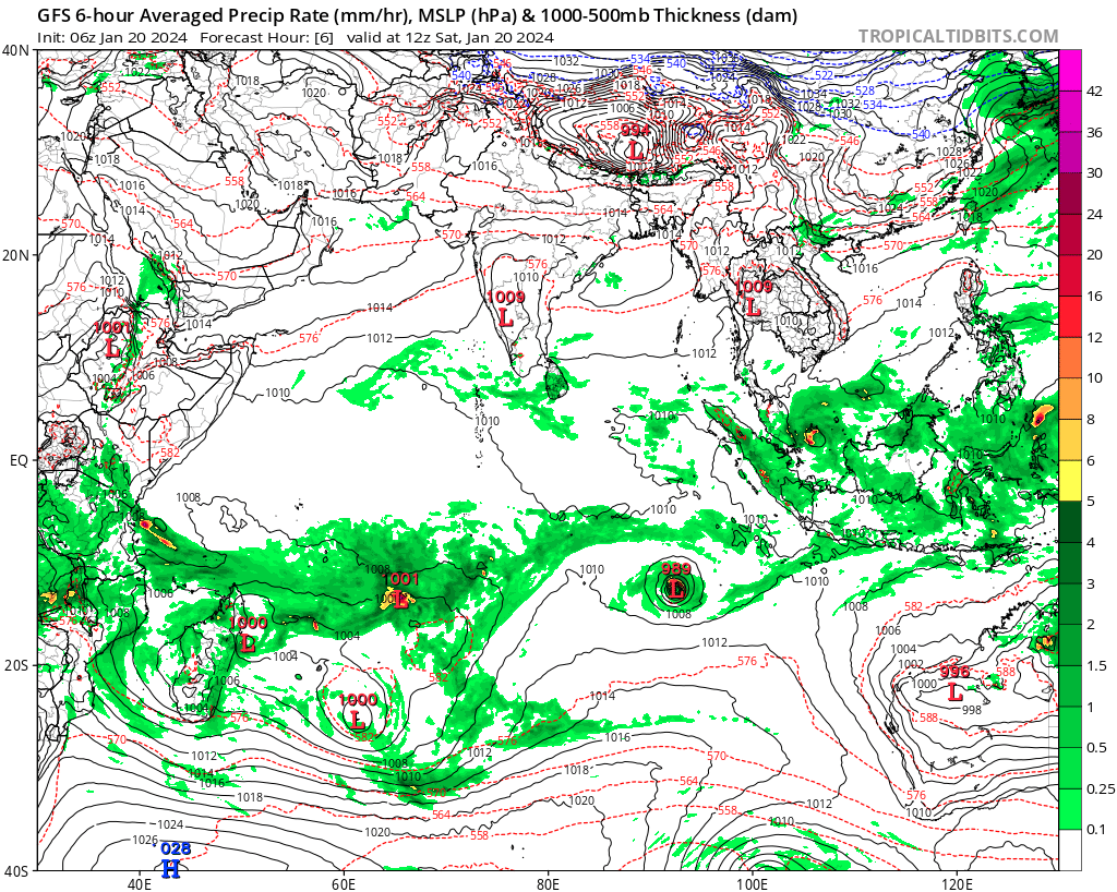
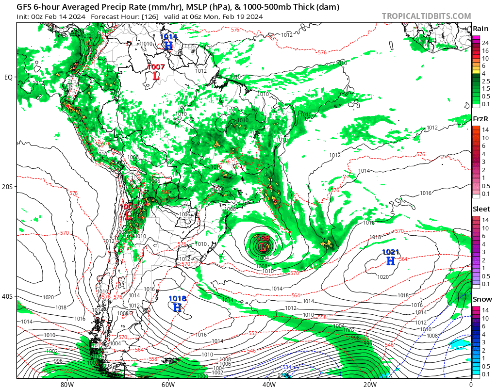
In the Mozambique Channel:
A tropical low-pressure system is currently located off the coast of Mozambique. This benefits from
an excellent supply of moisture, thanks to a particularly dynamic monsoon flow converging to the
south-west of the Comoros archipelago. Moving eastwards towards Madagascar, this minimum
should gradually guide this dynamic convergence over the aforementioned archipelago, triggering
unstable weather. Low-level convergence on the polar side is absent. In fact, this is what will
prevent it from continuing its deepening phase, despite good oceanic potential and a good polar
evacuation channel. By the middle of next week, the minimum is expected to approach Madagascar,
undermining the system's main source of energy. The main deterministic models are struggling to
make it cross the Indian Ocean. Prior to this phase, only the French ARO model suggests an
intensification into a tropical depression, or even local gale force winds in the convection linked to
the monsoon flow. The French and American ensemble models suggest a low risk from tomorrow
onwards of deepening into a moderate tropical storm.
The risk of a new tropical storm forming in the Mozambique Channel is low over the next 5
days.
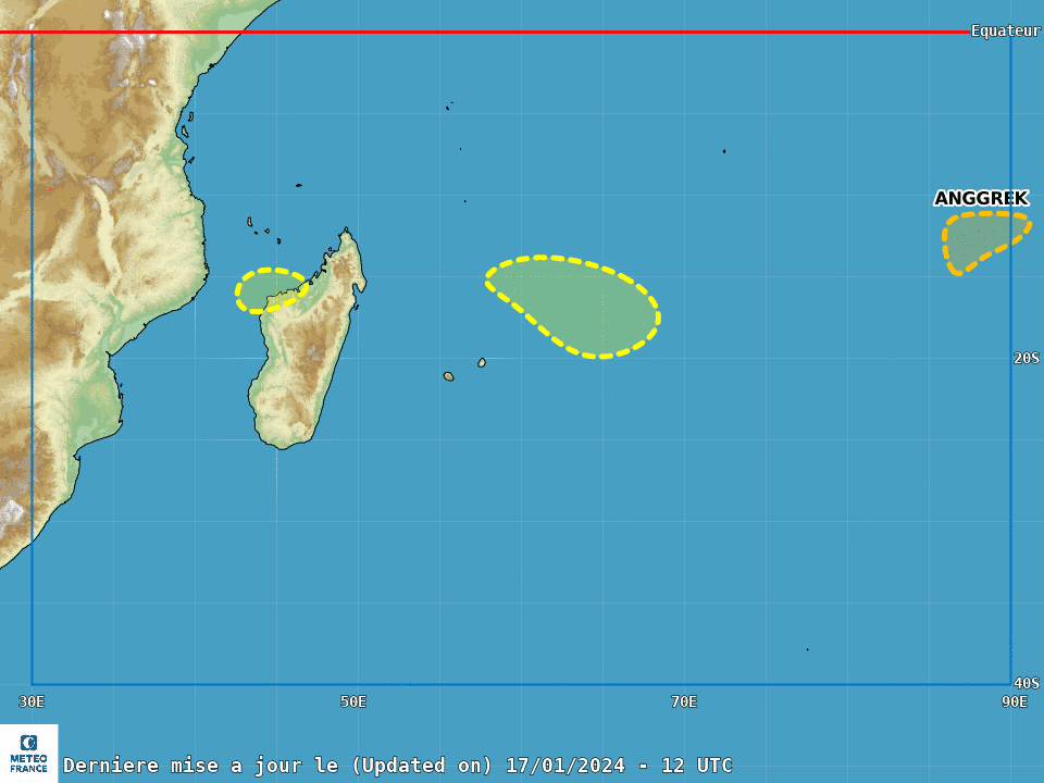
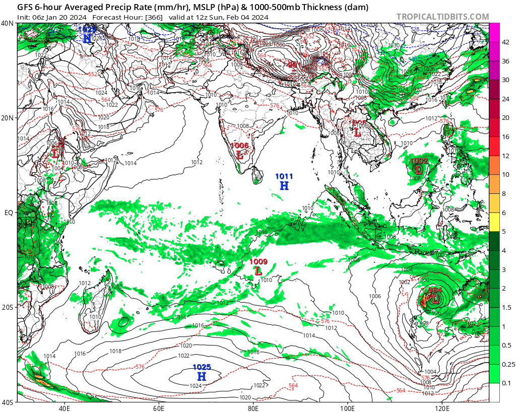
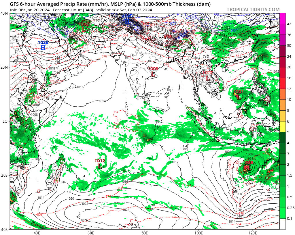
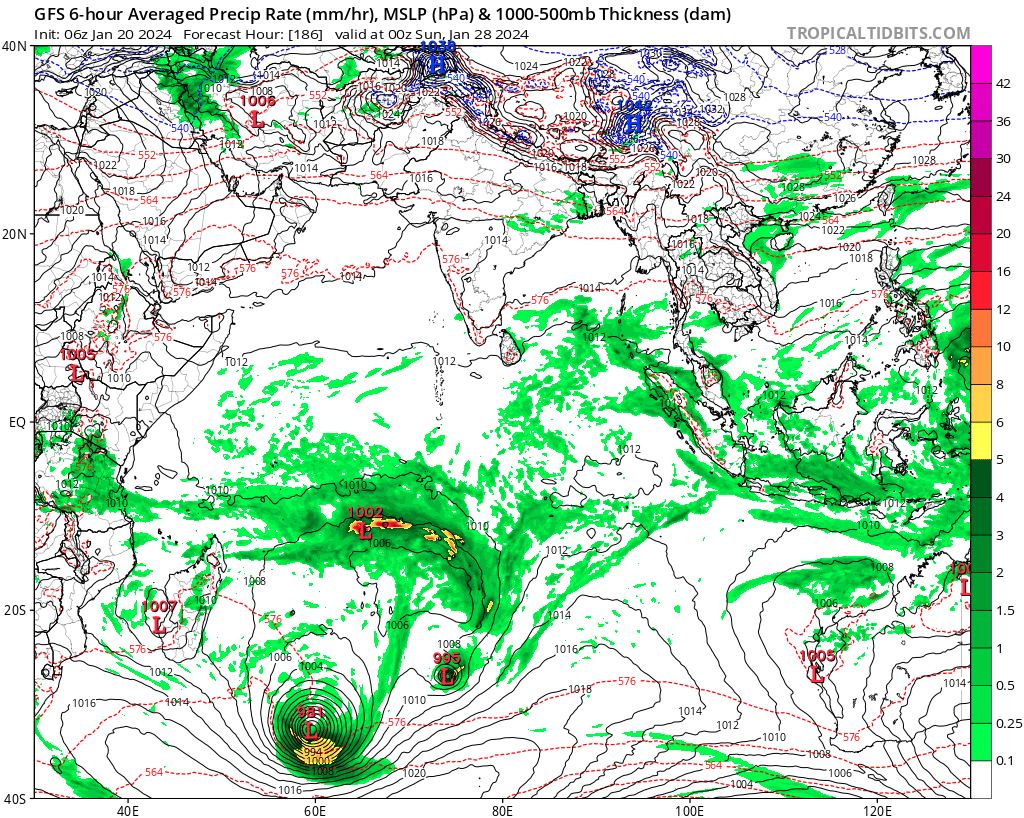
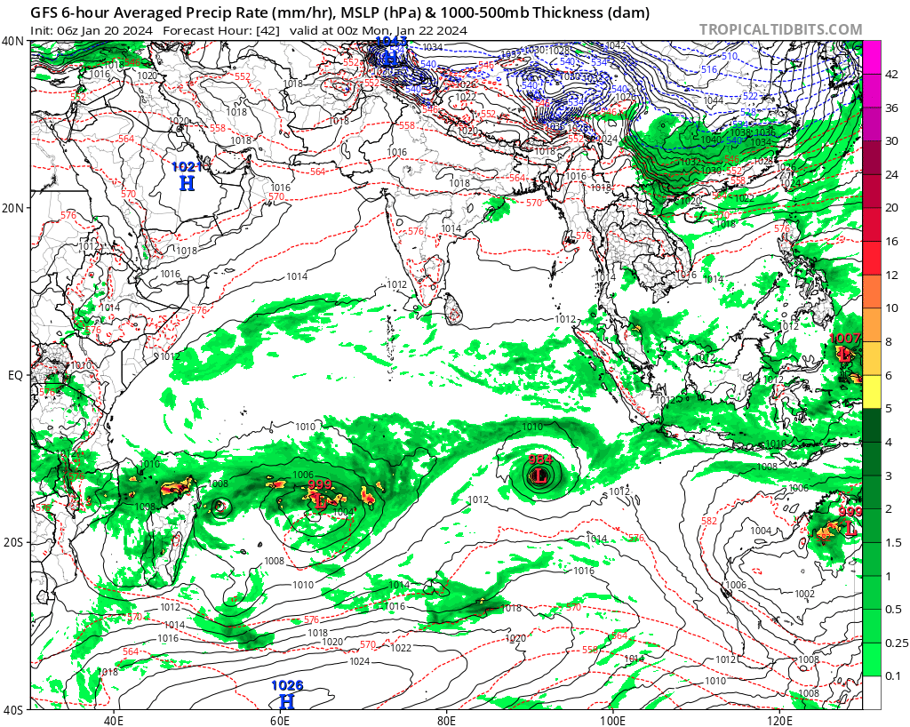
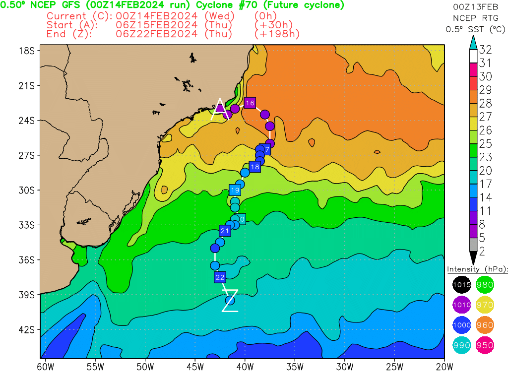
East of 90E:
A large low-pressure circulation is currently present, straddling the Indonesian and Australian area.
It is currently being monitored by the BOM, which predicts a high risk (65%) of it developing into a
tropical storm, east of 90°E.
In the short term, however, the environment seems mixed for its development due to slightly
sheared conditions aloft, but these conditions could improve at the margin during next week and
lead to a phase of intensification, but a priori in the Australian domain, close to the east of our area
of responsibility.
Deterministic models agree on this scenario. However, some ensemble models suggest that the
storm will enter our basin from next Thursday, with a low risk, at the stage of a moderate tropical
storm.
There remains a low risk of a new tropical storm entering the eastern part of the basin from
next Thursday.